|
Historical geographer and author, Paul Hindle, said his
illustrated talk combined 2 of his main interests, turnpikes and
old maps.
Paul detailed the timeline of the advent of
turnpikes from the 16th century through to periods of turnpike
mania during the 18th century. His talk included numerous maps
of the north west, which demonstrated that toll roads, that were
roads controlled by turnpikes, followed the routes of older
tracks. Tolls collected from road users were used to improve and
upkeep the state of the road.
The spread of turnpikes
across the country was a piecemeal exercise with no central
planning to coordinate development. Each turnpike had to be
enacted by an act of parliament and Lancashire’s first one was
in 1725.
As the road network developed, maps, too, began
to develop in their accuracy. From 1758 The Royal Society of
Arts encouraged this development. The military, under the name
of the Ordnance Survey, undertook nationwide surveying, which
increased map accuracy and detail throughout the 19th century.
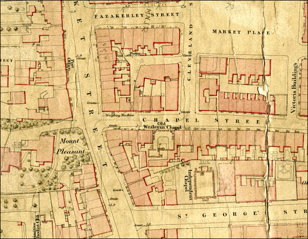
Paul continued his interesting talk by referring to maps
covering the locality and compared several editions with each
other to illustrate the development of maps, together with
Chorley as a town. |

Paul Hindle
(I don't know who
took the photo so I hope they don't mind us using it) |